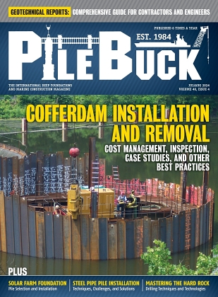
Analyzing Geotechnical Reports: A Comprehensive Guide for Contractors and Engineers

View the complete article here.
This guide is designed for contractors and engineers who need to understand the critical role of geotechnical reports. It discusses what geotechnical reports are, their key components, and the process of preparing them. Neglecting geotechnical reports can lead to significant issues—such as structural failures, costly delays, and safety hazards. By prioritizing thorough geotechnical investigations—contractors and engineers can ensure project success, stability, and compliance with regulations.
What is a Geotechnical Report?
A geotechnical report is a detailed document that provides an assessment of the subsurface conditions of a particular site, focusing on soil and rock properties and their implications for construction and engineering projects. Prepared by geotechnical engineers or geologists, this report is essential for understanding the geotechnical characteristics of a site to inform design and construction decisions.
The key objectives of a geotechnical investigation include:
- Assess soil and rock conditions: Determine the types and properties of soils and rocks present at the site.
- Evaluate groundwater conditions: Understand the water table level and its seasonal variations, which can significantly affect construction.
- Identify potential hazards: Recognize and mitigate geotechnical risks such as soil instability, landslides, or liquefaction.
- Provide engineering recommendations: Offer guidance on suitable foundation types, construction methods, and any necessary ground improvement techniques.
Components of a Geotechnical Report
The site description provides an overview of the location—including details on the topography, existing structures, and any visible geological features. It also includes a description of the site’s history and current conditions, which can influence the geotechnical assessment.
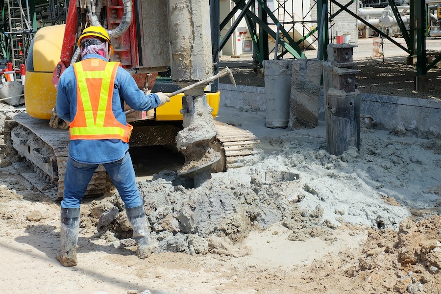
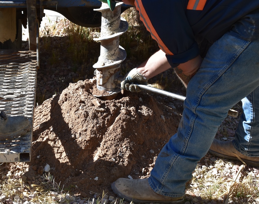
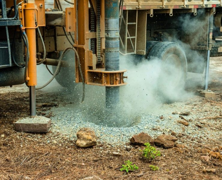
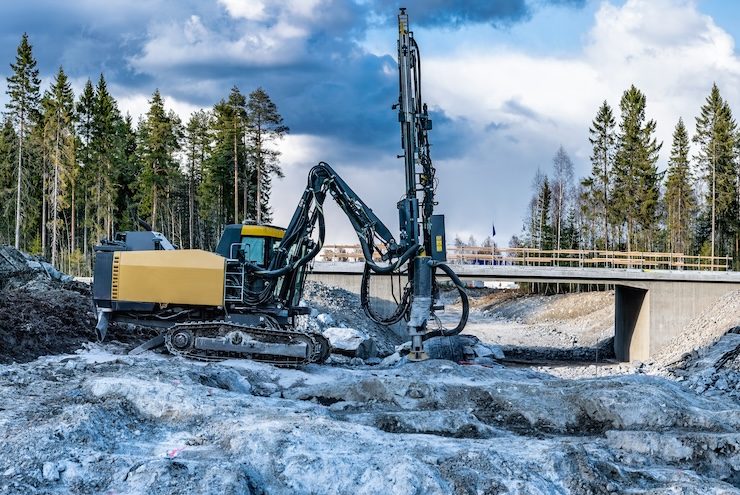
The field investigation methods detail the techniques used to gather data from the site—such as boreholes, test pits, and geophysical surveys. This section describes the equipment and techniques employed to ensure accurate and comprehensive data collection.
The laboratory testing section presents the results of tests conducted on soil and rock samples to determine their physical and mechanical properties. Common tests include grain size analysis, Atterberg limits, compaction tests, and shear strength tests.
The soil and rock properties section provides a detailed description of the types of soils and rocks found at the site, including their classifications and characteristics. It includes information on properties such as density, porosity, permeability, and strength—which are crucial for engineering design.
The groundwater conditions section provides information on the water table level, seasonal variations, and potential impacts on the project. It includes data on groundwater flow direction and rate, which can affect excavation and foundation design.
The geotechnical analysis section evaluates the data collected from field investigations and laboratory tests to provide insights into the site’s geotechnical behavior. This analysis may include assessments of soil bearing capacity, settlement potential, and slope stability.
Finally—the engineering recommendations section offers specific guidance on foundation design, depths, and construction methods suitable for the site’s conditions. It recommends solutions for mitigating risks such as soil settlement, landslides, or liquefaction and may include suggestions for ground improvement techniques—such as soil stabilization or the use of geosynthetics.
The Process of Preparing a Geotechnical Report
Preparing a geotechnical report involves several critical stages, each aimed at thoroughly understanding the site’s subsurface conditions to inform construction decisions.
1. Initial Site Assessment
The process of preparing a geotechnical report begins with an initial site assessment. This stage involves preliminary research and site visits to gather basic information about the location. The goal is to understand the site’s history and existing conditions, which can influence the geotechnical investigation. This includes reviewing past reports, maps, and other relevant documents to form a preliminary understanding of the site.
2. Field Investigations
Once the initial assessment is complete, field investigations are conducted to gather more detailed data. This stage involves performing various types of field tests such as boreholes, test pits, and geophysical surveys. Boreholes and test pits allow for direct sampling of subsurface materials, while geophysical surveys provide non-invasive methods to assess subsurface conditions. Data collection methods and the equipment used during this stage are critical to ensure the accuracy and reliability of the gathered data.
3. Laboratory Testing
After collecting samples from the field, laboratory testing is performed on soil and rock samples to determine their physical and mechanical properties. Common tests include grain size analysis, Atterberg limits, compaction tests, and shear strength tests. The results of these tests are crucial for understanding the behavior of the soil and rock under various conditions. Interpreting these test results accurately is essential for the next steps in the process.
4. Data Analysis and Interpretation
With the data collected from both field investigations and laboratory tests, the next step is data analysis and interpretation. This involves analyzing the gathered data to develop a comprehensive understanding of the site’s geotechnical characteristics. Engineers use this data to develop geotechnical models and simulations that predict how the site will behave under different conditions. This step is crucial for identifying potential issues and designing appropriate solutions.
5. Report Compilation
The final step in preparing a geotechnical report is compiling the report itself. This involves structuring the report in a clear and logical manner, ensuring that all relevant information is included and easy to understand. The report must be comprehensive—covering all aspects of the investigation, analysis, and recommendations. Clarity is essential, as the report will be used by various stakeholders—including engineers, contractors, and project owners—to make informed decisions about the project.
Applications of Geotechnical Reports
From foundation design to slope stability, earthworks, excavation, and ground improvement techniques—geotechnical reports ensure that projects are built on a solid and stable ground, reducing risks and enhancing structural integrity.
Foundation Design
One of the primary applications of geotechnical reports is in foundation design. These reports provide critical information on soil conditions, which is essential for choosing the right type of foundation for a project. Whether the project requires shallow foundations, deep foundations, or specialized foundation types—the geotechnical report guides the selection process. Additionally, it helps determine the appropriate depth and dimensions of the foundations to ensure they are stable and capable of supporting the structure.
Slope Stability
Geotechnical reports play a crucial role in assessing and ensuring the stability of slopes and embankments. By analyzing the soil and rock properties, engineers can identify potential instability issues and design measures to mitigate these risks. This is particularly important in projects involving hillside construction, roadways, and other infrastructure where slope failure could have serious consequences. The report provides recommendations for slope reinforcement, drainage improvements, and other stabilization techniques.
Earthworks and Excavation
Another key application of geotechnical reports is in guiding earthworks and excavation activities. The report provides guidelines for safe excavation practices, including the management of soil and groundwater conditions that could affect excavation stability. It also offers advice on the placement and compaction of fill materials to ensure they provide adequate support for the structure. Properly managed earthworks and excavation are essential for maintaining site safety and structural integrity.
Ground Improvement Techniques
Geotechnical reports also inform the use of ground improvement techniques to enhance soil properties for better performance. These techniques may include soil stabilization, grouting, and the use of geosynthetics to improve load-bearing capacity, reduce settlement, and increase overall soil strength. The report provides detailed recommendations on the most suitable ground improvement methods based on the specific site conditions, ensuring that the ground can adequately support the planned construction activities.
Case Studies
To better understand the geotechnical report, consider these three hypothetical case studies…
Scenario 1: High-Rise Building Construction
In the construction of a high-rise building in a major urban center, the geotechnical report was pivotal. The site had complex subsurface conditions with layers of weak soils and high groundwater levels. The geotechnical investigation involved extensive borehole drilling and soil sampling. The report provided detailed recommendations for deep pile foundations and appropriate dewatering techniques. By following these guidelines, the project team ensured the building’s stability and prevented issues related to soil settlement and water ingress—ultimately contributing to the project’s success. The lesson learned here is the importance of comprehensive site investigation and tailored recommendations to address complex subsurface conditions.
Scenario 2: Highway Construction Through Hilly Terrain
A large-scale infrastructure project involved constructing a highway through a region with challenging topography and varying soil conditions. The geotechnical report identified potential slope instability and recommended specific reinforcement techniques, such as retaining walls and soil nailing. The report also provided guidance on the optimal alignment to minimize earthworks and environmental impact. Implementing these recommendations prevented landslides and ensured the long-term stability of the highway, demonstrating the crucial role of thorough geotechnical assessment in infrastructure projects. The lesson learned is the necessity of addressing slope stability proactively to prevent future failures and ensure project longevity.
Scenario 3: Waterfront Development Project
A waterfront development project required constructing several residential and commercial buildings on reclaimed land. The geotechnical report played a critical role by assessing the soil conditions of the reclaimed area, which included soft clays and loose sands. The report recommended ground improvement techniques such as soil compaction and the use of geosynthetics to enhance soil strength and stability. By following these recommendations, the project team successfully constructed stable foundations and minimized the risk of differential settlement—ensuring the safety and durability of the development. The lesson learned is the value of ground improvement methods in transforming challenging soil conditions into stable, buildable land.
Final Thoughts
Geotechnical reports are essential for the success of construction projects, providing critical assessments of subsurface conditions and potential hazards. They guide foundation design, ensure slope stability, and inform safe excavation and soil management practices. Contractors and engineers must prioritize thorough geotechnical investigations to mitigate risks and prevent costly delays. Accurate geotechnical reporting ensures project safety, stability, and compliance with regulations. Investing in detailed assessments is crucial for informed decision-making and successful project outcomes. Emphasizing the importance of these reports enhances the quality and reliability of construction projects.
View the complete article here.
What is the purpose of a geotechnical report?
A geotechnical report assesses subsurface conditions to guide safe and stable construction decisions.
Why are geotechnical reports essential for construction projects?
They prevent structural failures, ensure safety, and help avoid costly delays by providing crucial soil and foundation recommendations.


