


The Top 5 Advantages of Using Flying Drones in Marine Construction
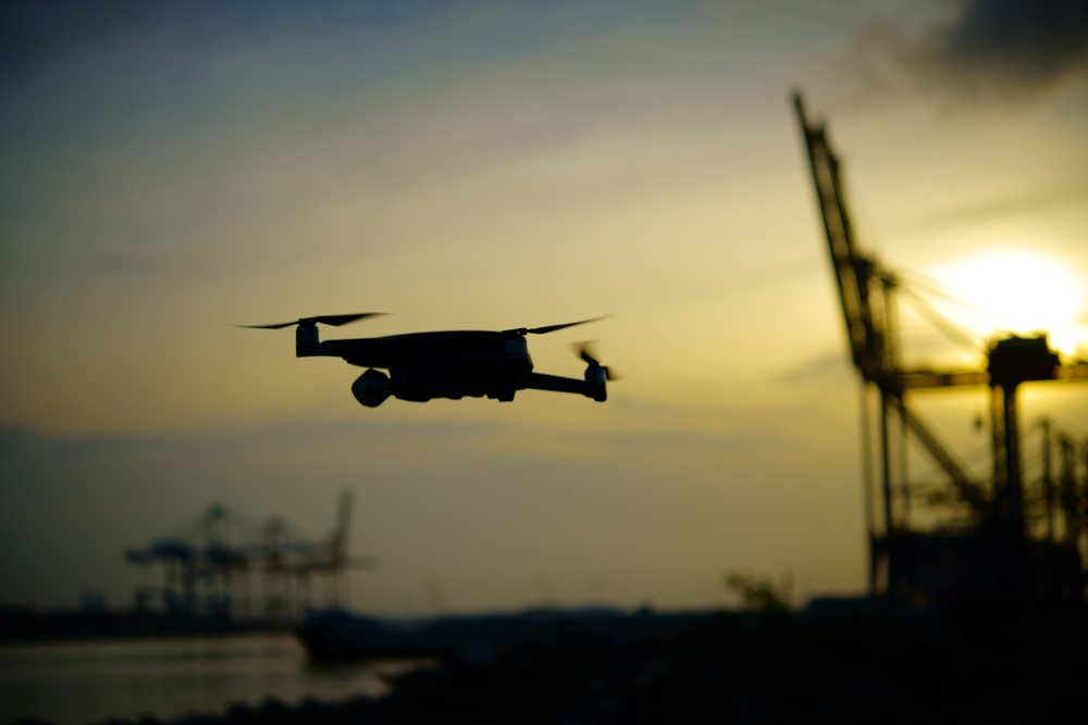
Before diving into how flying drones transform marine construction projects, it helps to understand why this technology is increasingly becoming a standard part of modern workflows. Drones, also known as unmanned aerial vehicles (UAVs), have evolved beyond hobbyist equipment into valuable tools in professional industries. In challenging environments like coastal zones, offshore platforms, and shoreline infrastructure, traditional surveying and monitoring methods can be costly and slow. Using flying drones allows teams to gather data, visual documentation, and real-time insights faster and with fewer safety risks. This blog post explores the top five advantages that make drone technology indispensable in today’s marine construction landscape.
Improved Efficiency in Project Data Collection
One of the most significant advantages flying drones offer to marine construction projects is the ability to conduct rapid site assessments and surveying. Traditional survey methods often require teams to work from boats, scaffolds, or unstable terrain, which can delay progress and increase labor costs. Drones equipped with high-resolution cameras and sensors can quickly fly over expansive areas, capturing detailed imagery and measurements in a fraction of the time it would take using conventional practices. This advantage not only speeds up initial site assessments but also allows project managers to update data regularly throughout the construction process, keeping design and execution aligned with real conditions. In applications that involve dynamic environments like coastlines or offshore platforms, what once took days or weeks can now be done within hours using state-of-the-art aerial technology.
The increased speed at which accurate data can be gathered also means construction teams spend less effort mobilizing, repositioning, and coordinating personnel. By reducing the time spent on manual measurements, drones support smoother transitions from planning to execution. These real-time insights help teams make informed decisions faster and maintain project momentum. Many projects now integrate drone flight paths into regular schedules, making aerial data collection an ongoing part of progress tracking rather than a one-off task. By improving efficiency in this way, teams reduce delays and gain greater clarity on worksite conditions from the earliest stages through to completion.
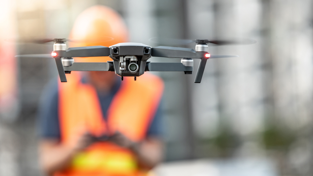
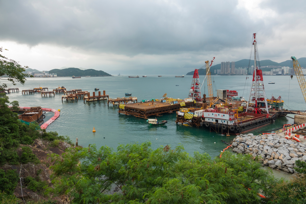
Enhanced Safety For Workers and Environments
Safety is always a top priority in construction, and this is especially true in marine environments where conditions can be unpredictable and hazardous. Strong currents, slippery surfaces, and hard-to-reach structures present dangers for inspection crews and survey teams. Flying drones help reduce these risks because they can access areas that would otherwise require personnel to enter potentially unsafe zones. This capability protects workers from exposure to dangerous conditions while still enabling comprehensive monitoring and inspection tasks. There is no need to send personnel onto unstable docks, over open water, or near heavy machinery when drones can provide visual data from a safe distance.
By shifting routine inspection and survey duties to unmanned aircraft, teams limit the need for staff to climb, board small vessels, or operate near water edges. This shift not only enhances safety but also reduces the likelihood of accidents that could cause costly project stoppages or insurance claims. In structures like offshore wind platforms and breakwaters, safe access points may be few and far between. Using drones to gather imagery and data helps maintain high safety standards while keeping the project on schedule and within budget. The ability to replace high-risk tasks with remote monitoring is a compelling reason many marine construction professionals adopt drone technology in their standard operating procedures.
Greater Accuracy and Detailed Data
Marine construction projects demand precise measurements and reliable recordings, whether for initial surveys, environmental monitoring, or progress tracking. Flying drones equipped with advanced sensors, such as LiDAR or high-resolution optical cameras, capture highly accurate data that helps teams make strategic decisions. Generating accurate maps and 3D models of marine construction sites supports design validation and planning processes. These detailed visual datasets enable engineers and project leaders to compare as-built conditions to design plans, identify discrepancies, and plan corrective actions before they become costly problems.
Because drones can fly at low altitudes with precise control, they capture imagery that often surpasses what satellites or manned aircraft can achieve. The detailed orthomosaic images and terrain models produced from drone flights help stakeholders understand even minor features of a site. This level of detail improves the quality of survey results and supports better decision-making throughout a project’s lifecycle. High-precision mapping and monitoring foster trust among clients, regulators, and team members by providing consistent, verifiable data that reflects true conditions on and around the construction site.
Cost Savings Over Traditional Methods
Lower Project Expenses Through Automation
Another compelling advantage of using flying drones in marine construction is cost savings. Traditional methods for surveying, monitoring, and inspection often require extensive manpower, chartering of vessels, or the use of manned aircraft, all of which carry significant costs. Drones reduce the need for expensive equipment and large field teams, allowing contractors to perform these tasks more economically. Aerial data collection using drones often requires fewer personnel on site, less heavy equipment, and reduced operational logistics. Over the course of a project, those savings accumulate, making drones a more cost-effective choice for routine work.
Cost savings extend beyond immediate operational expenses. Because drones support efficient data collection and early identification of issues, projects can avoid expensive rework and schedule delays. A well-timed drone survey can identify a misalignment or design issue before it becomes a major problem. Early detection of potential trouble spots helps keep budgets intact and timelines stable. When teams integrate aerial data workflows into project management systems, they can also reduce time spent in review cycles and improve overall efficiency. The result is a leaner project approach that maintains quality while lowering total costs.
Real Time Project Oversight
Continuous monitoring capabilities offered by flying drones support better oversight of project progress. Not only can teams survey large areas quickly, but they can also generate visual updates that keep stakeholders informed. This transparency enhances communication and allows project managers to make adjustments in real time rather than waiting for periodic reports or physical inspections. Frequent aerial imagery helps confirm that work is progressing as planned and supports accountability across teams. The ability to monitor complex marine construction sites from a central dashboard or remote office boosts operational clarity and keeps everyone aligned. This proactive oversight contributes to better project outcomes and helps reduce downstream issues.
Support For Environmental And Regulatory Monitoring
Marine construction often intersects with sensitive ecological zones and regulatory compliance requirements. Protecting coastal ecosystems and minimizing environmental impact are key concerns for project stakeholders. Flying drones help teams monitor environmental indicators with minimal disturbance, capturing imagery and sensor data that can be used for habitat assessments and compliance documentation. Aerial surveys provide a non-intrusive means of observing wildlife, shoreline conditions, and water quality indicators, supporting responsible construction practices.
Drones also contribute to sustainability efforts by lowering the reliance on large motorized vehicles that produce emissions and potentially disturb habitats. Because UAV surveys are conducted from the air, they reduce footprint on the ground or water surface and avoid the disruption that heavy equipment might cause. Data collected by drones can demonstrate compliance with environmental regulations and help project teams adjust operations to protect natural resources. This environmental stewardship aligns with broader industry expectations for sustainable practices in marine construction and enhances community trust in project execution.
In marine construction projects, the advantages of flying drones are clear and measurable. These technologies improve efficiency in data collection and site surveying while enhancing safety for workers in high-risk environments. Drones also deliver highly accurate data that supports better decision-making and reduce overall project costs. Their real-time capabilities provide superior oversight, and their use in environmental monitoring supports sustainable practice. As marine construction continues to evolve, integrating drone technology will remain a strategic advantage for teams seeking innovation, cost management, and improved project performance. For professionals looking to enhance surveying and mapping workflows, leveraging aerial data collection through advanced services like drone surveying in marine environments early in a project and adopting best practices from industry leaders such as drone inspection and monitoring workflows toward the end can make a substantial difference in outcomes.