Basic Planning for Harbor Construction

View the complete article here.
Introduction
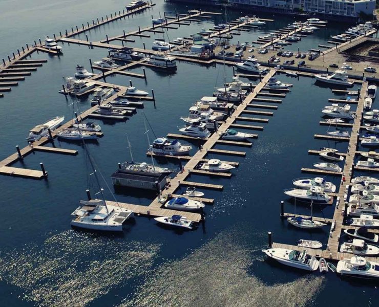
Planning for harbor construction begins with the selection of a site. The design engineer must consider several factors including harbor-use objectives, economics, and, in some military prescribed cases, the expediency of construction. The process of site selection consists of comparing alternative sites and progressively eliminating the less desirable alternatives. Final selection requires the preparation of preliminary layouts and comparative cost and resource estimates.
Permits
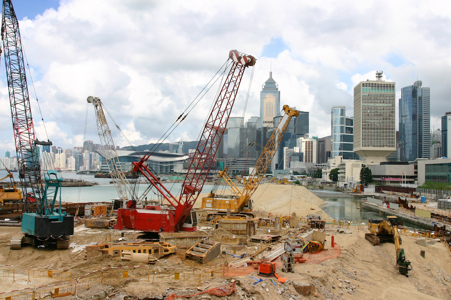
All works located in the waters of the United States and its territories are under the jurisdiction of the U.S. Army Corps of Engineers. This zone is generally located seaward from the mean high-water line. A Corps permit is required for all dredging, filling, construction, or maintenance works. However, at a local level, they cannot override the permit objections of the Department of the Interior–U.S. Fish and Wildlife, the Environmental Protection Agency, and the Department of Commerce–Bureau of Commercial Fisheries.
Principal Factors in Harbor Siting
There is a great deal to consider when selecting a site for harbor construction, including:
Access
- Vessel access to the harbor site must contain adequate depths and clearance for safe navigability.
- Land access to the harbor site is – or can be reasonably developed – to provide required land transportation linkage.
Size and Depth
There must be protected water depth and space adequate to accommodate intended vessel traffic in entrance and turning basins, mooring areas, and berthing areas. Land areas of sufficient size and elevation are required to accommodate support needs. They must be free from flooding or inundation. Potential for future enlargement or change in harbor use should be considered.
Currents
Current velocity should be minimum and, except for localized areas and/or special considerations, should not exceed 4 knots.
Fouling Rate
A desirable factor is a low fouling rate and relative freedom from marine borers, hydroids, and other biofouling organisms which can be drawn into the cooling systems of ships.
Water Circulation
Water basins should have sufficient natural circulation.
Sedimentation
The effect of the harbor site on natural regimes of coastal and riverine sediment transport and supply must be thoroughly evaluated. It is desirable not to interfere with the natural regime of sediment movements. The effects of harbor development on the sediment system may require maintenance dredging and/or shore-stabilization.
Meteorological
Storm
Avoid locations subject to the direct effects of pronounced, severe, and frequent storms.
Fog
Consider local variation in fog intensity and avoid the more severe sites where practicable.
Ice
Avoid locations which might be ice-locked for several months a year.
Economics
Economic considerations must be weighed against depth requirements. In harbors where tidal range is very large and, particularly, where an entrance channel is long, consider the possibility of restricting the entrance of the largest draft ships. Where hard bottoms prevail and excavation costs are high, consider the exclusion of certain classes of deep-draft vessels, with provision of lighter service between deep-water anchorage and docks.
Wave Protection
The harbor configuration should provide adequate wave shelter in the form of interior basins for mooring and berthing of ships. Limiting values of wave heights in interior basins should include consideration of vessel-to-wavelength ratios. For large naval vessels and non-resonance storm-wave conditions, a preliminary design criteria using a 4-foot limiting wave height may be applied. In cases of small craft, the limiting wave height should be 2 feet.
Depth Requirements
Generally, harbor-area depths vary. Certain areas are set aside for the use of small craft and other areas for the use of larger ships. Depth requirements for channels differ from those at anchorages and berths. No matter which area is under consideration, provision of adequate depth at all anticipated water levels is essential.
Anchorage and Berthing Areas
For a specific vessel, the depth requirements at anchorage and berthing areas are identical.
Channels
For fully operational channels protected from direct storm-wave attack, the desirable ratio of channel depth to navigational draft of the largest vessel should be 1.3. This applies to vessel speeds of less than 7 knots. For vessel speeds in excess of 7 to 8 knots, the ratio should be 1.5.
Detail Depth Design
The depth of the channel is determined by adding the estimated maximum vessel draft and bottom clearance relative to the sea surface level in the absence of wind waves. This is known as the still water level or SWL. The maximum vessel draft is based on several factors. These include:
Static Draft
The extreme draft of a vessel at rest in still water equals the distance from the water surface to its lowest underwater extremity. The value for the maximum loaded draft of an undamaged vessel must be adjusted to account for list, trim, and water density changes.
Wave Motion
Where a vessel is in a water area subject to wave action, vertical motions will increase the extreme draft relative to the still water level. Rotational motions of pitch and roll, as well as vertical displacement through heaving motion, will occur.
Vessel Draft
The factors that affect maximum vessel draft include:
Squat
When a vessel is underway in shallow water or in a restricted channel, the water surface near the quarter point of the vessel drops below the normal level and the vessel tends to settle or squat in the depression. The amount of squat depends upon:
- The speed of the vessel through the water.
- The distance between the keel and the bottom.
- The trim of the vessel.
- The cross-sectional area of the channel.
- The presence of other vessels in the channel passing or overtaking the subject vessel; and
- The location of the vessel relative to the channel’s centerline.
The amount of squat will increase when vessels travel near one side of the channel. Squat will also be increased if there are two or more vessels passing one another side by side.
Bottom-Clearance Allowance
Other factors to consider in determining the clearance between the maximum vessel draft and the bottom are: vessel operation, type of bottom material, and a factor of safety.
Water Levels
Water levels fluctuate, and both daily and extreme water level changes must be taken into account. This includes storm surges and tsunamis. However, other phenomena that affect water levels include:
Astronomical tides. These are periodic forces on large bodies of water that result from motions and mass attractions of the earth, moon, and sun.
River discharge. This is where a harbor site is hydraulically influenced by river discharge. Present as well as future river flood discharge can affect water levels.
Extreme water levels. A combination of events may produce extreme water-level conditions that negatively impact the operation or safety of the harbor. The probability of their occurrence should be estimated.
Other Design Considerations
Other design considerations include channel bends, depth, and turning basins.
Channel Bends
The path of a ship in a channel bend is wider than it is in straight sections. If channel bends are unavoidable, the channel should be widened.
Depth
Except where heavy silting conditions require greater depth at individual berths at low water, the depth should equal to the maximum navigational draft of the largest vessel to be accommodated, plus 10 percent.
Turning Basins
Where space is available, provide turning basins to minimize the use of tugs. As a rule of thumb, consider that a vessel can be turned comfortably in a radius of twice the vessel length, or, where ease of maneuver is not important, in a radius equal to the vessel length. For shorter turning radii, the vessel must be assisted by tugs. Use the following best practices when incorporating basins:
- Locate one turning basin at the head of navigation.
- Locate a second just inside the breakwater.
- Where heavy traffic is anticipated, provide intermediate basins to reduce congestion and save time.
- Where feasible, use an area of the harbor which has the required size and depth in its natural state.
- A turning basin is frequently desirable at the entrance to dry-docks. They are also useful at the interior or landward end of long piers or wharves providing multiple-length berthing.
Shipyards
Harbors or sections of harbors designed as shipyards require special facilities and designs. The design engineer must consider and plan for waterways, piers, drydocks, ancillary facilities, and land needs.
Waterways. The shipyard portion of the harbor requires a channel sufficiently large to accommodate the largest vessel to be served by the shipyard.
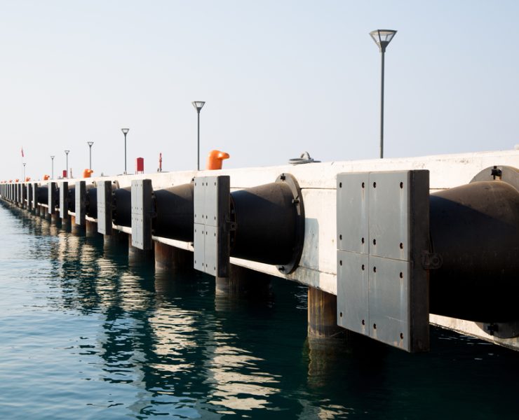
Piers. Special considerations for repair and outfitting piers include crane rails for portal cranes, railroad tracks between crane rails, and special service piping to shipside galleries or service boxes.
Drydocks. Drydocks are of two basic types: floating and graving.
- Floating drydocks may be moved from place to place and are suitable for servicing smaller ships and submarines.
- A graving drydock is a permanently placed facility dug into the embankment. Such drydocks are usually equipped with portal cranes that travel around the perimeter of the dock and are surrounded by service and laydown areas for large ship parts and equipment.
Ancillary Facilities. Additional facilities and water area should be allocated for anchorage or moorage of ships awaiting repair service as well as for tugboats and fireboats.
Land Needs. Land area should be allocated to shipyard use in sufficient quantity to provide for rail or highway access, including onsite storage of vehicles and goods required for shipyard operations.
Aids to Navigation
The harbor may need to provide aids to navigation. This may include lighthouses, range lights, directional lights, minor lights, lighted and unlighted buoys, day beacons, and fog signals. Other types of aids to navigation include lightships, radio beacons, radar beacons, and loran stations.
Conclusion
It is seldom feasible to provide all of the desirable characteristics of an ideal harbor at any single harbor location. However, an ideal waterside harbor includes shelter from open-sea waves and strong winds, access through one or more safe navigational channels under all weather conditions, minimum maintenance dredging, and room for future expansion.
View the complete article here.
What permits are required for harbor construction in the United States?
Harbor construction in U.S. waters requires a permit from the U.S. Army Corps of Engineers, with considerations for objections from other departments like the Department of the Interior, U.S. Fish and Wildlife, the Environmental Protection Agency, and the Department of Commerce–Bureau of Commercial Fisheries.
What are the key considerations for selecting a harbor construction site?
Factors include vessel and land access, size and depth requirements, currents, fouling rate, water circulation, sedimentation, meteorological conditions, economic considerations, wave protection, depth requirements, and water levels fluctuation, among others.

