3D Software Halves Wharf Pile Placement Time
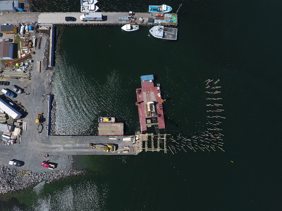

Location: Nova Scotia, Canada
Solution:
- Trimble Marine Construction software
- Accurate 3D positioning visualization
- Find out more at trimble.com/marine
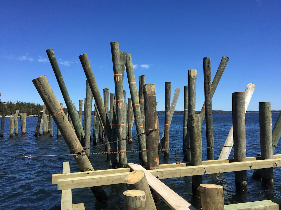
Overview: Reg Tramble of Alva Construction Ltd. Antigonish, Nova Scotia, is the project engineer on a wharf replacement project that includes more than 40 meters of timber cribbed wharf in addition to 80 meters of timber piling wharf with concrete caps and deck. There are 180 piles in the section: 132 vertical and 48 batter piles, which are driven at an angle.
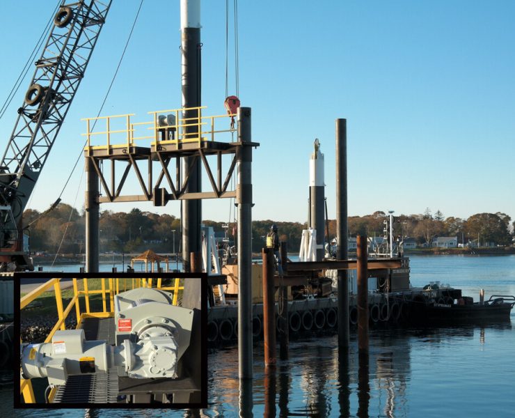
Trimble Marine Construction software for pile-driving applications cut the time for setting and driving piles from a floating crane in half, both increasing safety and reducing production time.
Challenge
Alva Construction needed to reduce time required to set out piles in the required location and drive pile to the required depth by providing positioning guidance during the piling process. “We use GPS machine control on our excavators and dozers and were trying to get the system to work on our floating crane,” said Tramble. Positioning and adjusting the angles of the piles had always been accomplished by crew members which, in addition to being time consuming, presented an element of danger to the crew, he said.
Solution
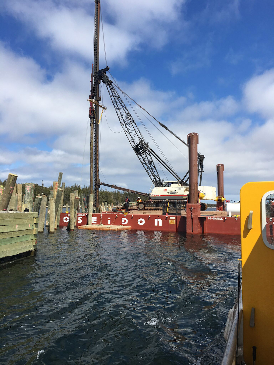
Lou Nash, president of systems integrator Measutronics, working with Reg Tramble, designed and installed a system for Alva’s barge-mounted Terex crane, which is fitted with a fixed-lead Birmingham VTL (vertical travel lead) pile driving system and Pileco diesel hammer.
Measutronics created a mock-up of the crane to find the optimum location of the pitch and roll sensors and GPS antennas, a graphics display on the operator’s screens, and the equipment installation in the small cab on the crane.
Measutronics Systems Specialist Nathan Keys worked with Nash to envision and create displays showing a simple and accurate method of positioning a pile before and during engaging the hammer, along with monitoring and displaying other statistics of the ongoing project.
Keys described the main operating screen: “The current pile location is represented in green and the target location in yellow. Basically, they want to move the green pile on to the yellow one,” he said.
 On-screen graphics indicate movement from left to right, straight line distance to the target, the change required to get from the current location to the target location, and change required to get from current heading to the design heading.
As the operator maneuvers the pile, the screen displays inclination change required to get to design inclination, and another reading gives the inclination heading change required to achieve design inclination heading.
Another screen is for selecting the design pile. “Once the pile is selected, the screen shows the design pile properties such as Northing, Easting, Elevation, Length, and Inclination,” explained Keys.
“Our crew came up with a mounting system that protected the (external) equipment, mounted on the lead,” said Tramble. This included the two GPS antennas and the pitch and roll sensor. The cab-based equipment included a laptop computer to run the software and the Trimble GNSS receivers, which provided position and heading.
After the equipment bracket was in place on the lead, followed by installation, calibration, and training by Measutronics, the system was put to work.
“We were already working on the project and it was 65 percent complete before the system was installed,” said Tramble. “This gave us a comparison between pre- and post-install times. For the vertical piles, it took 40 to 50 percent less time. For the raked (batter) piles, we were still on a learning curve, and saw a 25 percent decrease in time, but I think it will go up to 50 percent in the long run,” he said.
Nash said that a feature they plan to develop in the software is to pre-plan barge positions in order to minimize moves. “Contractors tell us that another big saving is in minimizing moves,” he said.
Trimble marine construction software
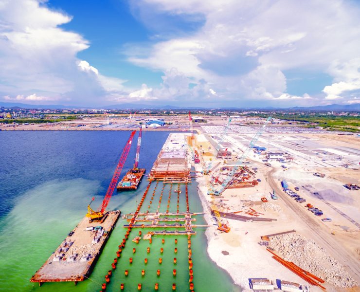
Improve productivity and efficiency in marine construction applications including dredging, crane operations, piling and hydrographic survey. The software provides accurate 3D visualization to assist the operator with underwater construction tasks. The software and Trimble sensors support a range of marine construction workflows including:
- Dredging
- Cutter Suction Dredge
- Bucket Dredge
- Backhoe/Excavator Dredge
- Grab/Clamshell Dredge
- Placement
- Rock Dumping and Placement
- Caisson Placement
- Block Placement using Wire crane or Excavator
- Vertical and Raked pile placement
- Hydrographic survey
- Single beam hydrographic survey
- Multibeam hydrographic survey
Visit trimble.com/marine for more information.

